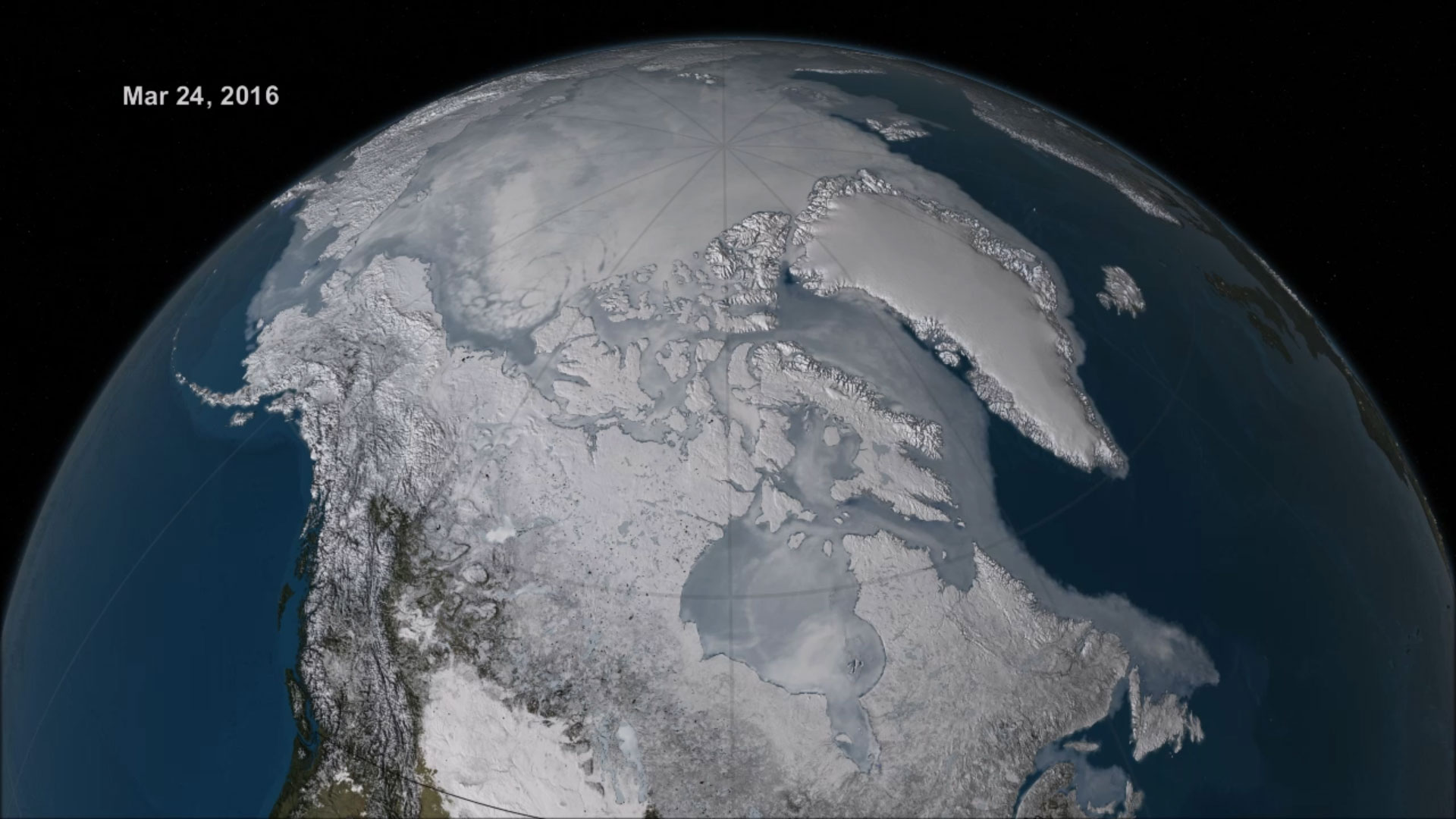
Record Low Arctic Sea Ice Maximum (2016)
2016 Arctic sea ice wintertime extent hits another record low. […]
2016 Arctic sea ice wintertime extent hits another record low.
By Maria-Jose Viñas, NASA’s Earth Science News Team
Excerpt
Arctic sea ice appears to have reached a record low wintertime maximum extent for the second year in a row, according to scientists at the NASA-supported National Snow and Ice Data Center (NSIDC) and NASA.
Every year, the cap of frozen seawater floating on top of the Arctic Ocean and its neighboring seas melts during the spring and summer and grows back in the fall and winter months, reaching its maximum yearly extent between February and April. On March 24, Arctic sea ice extent peaked at 5.607 million square miles (14.52 million square kilometers), a new record low winter maximum extent in the satellite record that started in 1979. It is slightly smaller than the previous record low maximum extent of 5.612 million square miles (14.54 million square kilometers) that occurred last year. The 13 smallest maximum extents on the satellite record have happened in the last 13 years.
The new record low follows record high temperatures in December, January and February around the globe and in the Arctic. The atmospheric warmth probably contributed to this lowest maximum extent, with air temperatures up to 10 degrees Fahrenheit above average at the edges of the ice pack where sea ice is thin, said Walt Meier, a sea ice scientist at NASA’s Goddard Space Flight Center in Greenbelt, Maryland.
Read the full article @ http://climate.nasa.gov/news/2422/
Related
The Arctic sets yet another record low maximum extent https://nsidc.org/news/newsroom/arctic-sets-yet-another-record-low-maximum-extent
