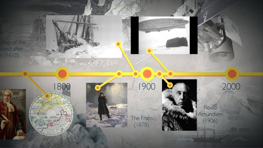
NASA: Four Decades of Sea Ice From Space
NASA: One of the most visible signs of climate change […]
NASA: One of the most visible signs of climate change in recent years was not even visible at all until a few decades ago.
The sea ice cap that covers the Arctic Ocean has been changing dramatically, especially in the last 15 years. Its ice is thinner and more vulnerable – and at its summer minimum now covers more than 1 million fewer square miles than in the late 1970s. That’s enough missing ice to cover Alaska, California and Texas.
A key part of the story of how the world was able to witness and document this change centers on meticulous work over decades by a small group of scientists at NASA’s Goddard Space Flight Center in Greenbelt, Maryland. Late nights in mainframe rooms, double- and triple-checking computer printouts, processing and re-processing data – until the first-ever accurate atlases of the world’s sea ice were published.
“Sea ice was one of the least understood variables in the Earth system,” said Claire Parkinson, a climate change senior scientist at NASA Goddard. “Thanks to satellites, now sea ice is one of the best studied components of the planet.”
