NASA Laser Reveals Miles of Greenland Ice Loss
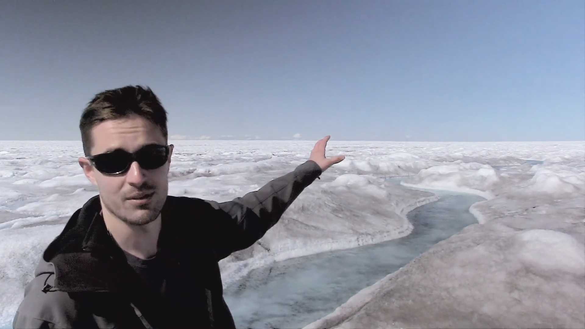
What if you could measure a glacier in such detail [...]
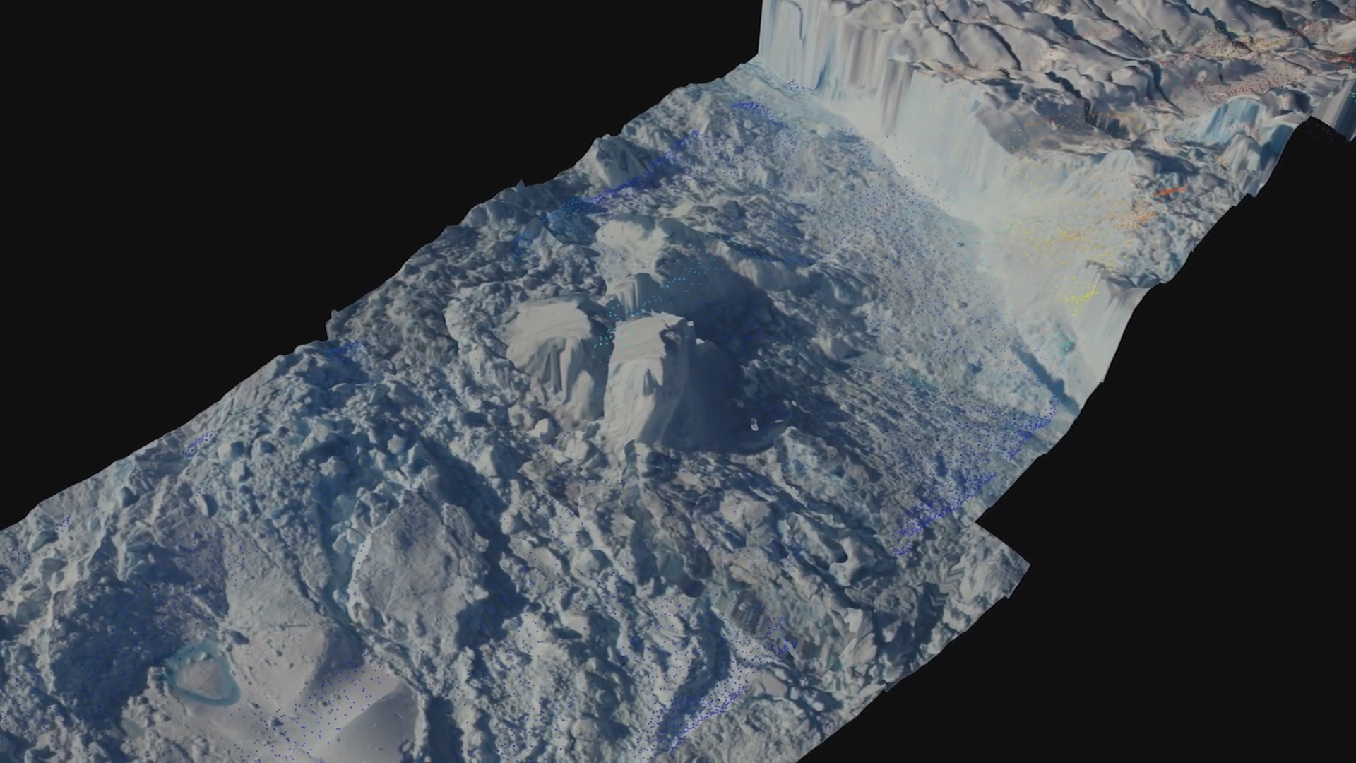
What if you could measure a glacier in such detail [...]
Algae responsible for large albedo feedback on Greenland’s frozen surface, [...]
Ever since scientists first began to explain the evidence that [...]