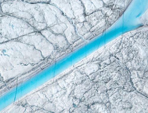
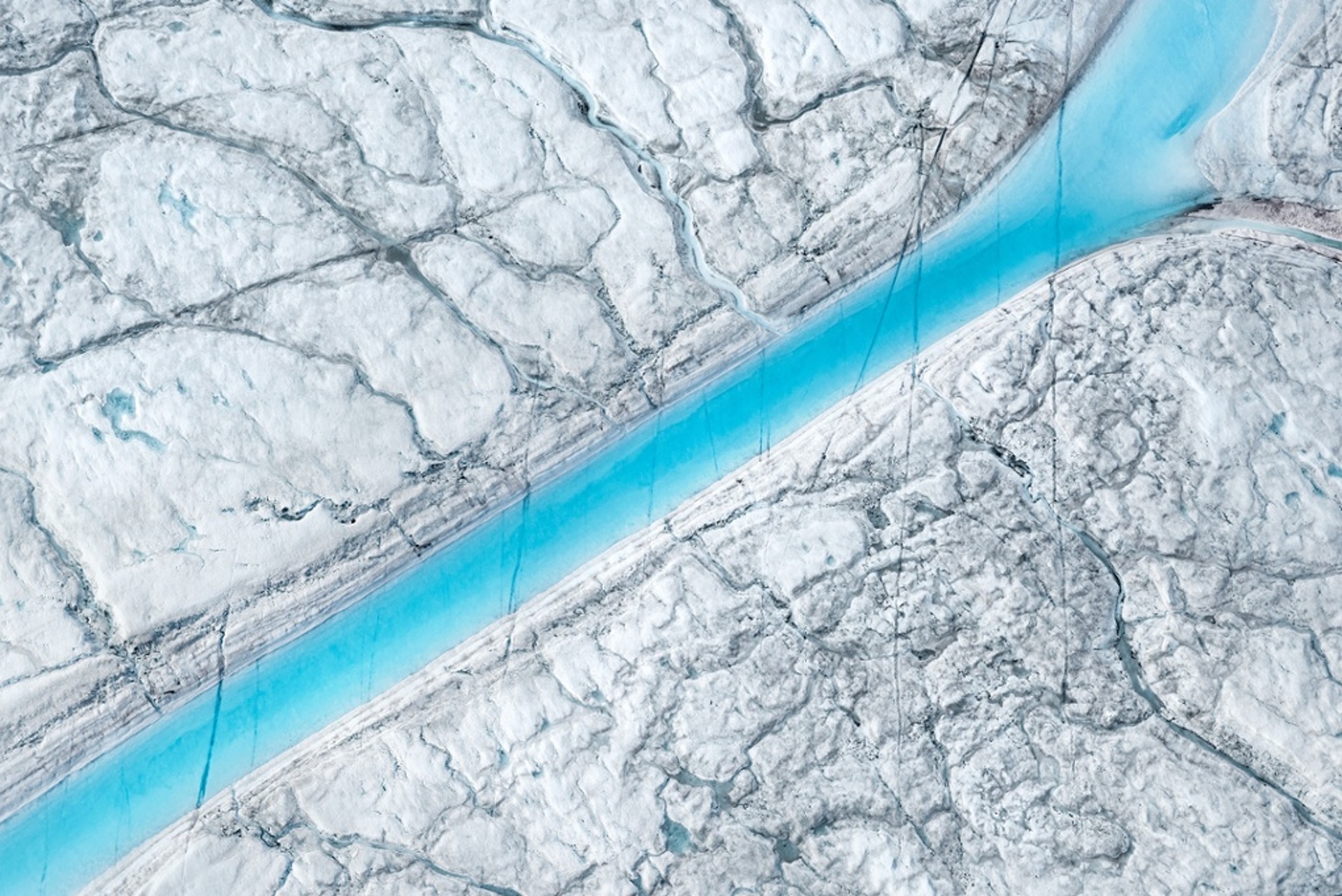
Greenland’s Ice Layers Mapped in 3D

Peering into the thousands of frozen layers inside Greenland’s ice sheet is like looking back in time.
NASA: Each layer provides a record of not only snowfall and melting events, but what the Earth’s climate was like at the dawn of civilization, or during the last ice age, or during an ancient period of warmth similar to the one we are experiencing today. Using radar data from NASA’s Operation IceBridge, scientists have built the first-ever comprehensive map of the layers deep inside the ice sheet.
Categories: Greenland, Ice Sheets, Project, Video

Support Earth Climate

About the Author: EARTH CLIMATE
EARTH CLIMATE covers the broad spectrum of climate change, and the solutions, with the focus on the sciences. Earth Climate – we endorse data, facts, empirical evidence.
Newsletter
Join 117 other subscribers.
Subscribe
Login
0 Comments
Oldest
Newest
Recent Forum Topics
Recent Comments
- Gemma on The Dynamics of Greenland Ice Sheet Melt: Atmospheric Drivers and Feedback Loops
- The Dynamics of Greenland Ice Sheet Melt: Atmospheric Drivers and Feedback Loops | Earth Climate on Melt lakes on Greenland’s Glaciers
- The Dynamics of Greenland Ice Sheet Melt: Atmospheric Drivers and Feedback Loops | Earth Climate on Exceptional 2012 Greenland Ice Melt Caused By Jet Stream Changes That May Be Driven By Global Warming
Support
We create visually compelling, accessible science content that transforms complex research into engaging videos and articles, helping millions understand the discoveries shaping our world. Paypal | Patreon