Under the Ice: A closer look at recent Antarctica and Greenland Ice Melt
Source: Polar science news in brief “Environ Earth Sci (2013) […]
Date Posted:
July 26, 2013
Source: Polar science news in brief “Environ Earth Sci (2013) 68:1813–1821 DOI 10.1007/s12665-012-2185-y by David Carlson
Summary
Antarctica
- Satellite radar altimetry since 2002 shows accelerated thinning (Amundsen Sea, Pine Island and Thwaites glacial ice streams)
- Laser altimetry shows thinning on 20 of 54 Antarctic ice shelves
- Ice shelves buttress their tributary glaciers, melt-induced thinning of the ice shelves drives a corresponding thinning and acceleration of the upstream glaciers
- Heat for basal melting occurs from wind-forced incursions of deeper and warmer water and from local surface waters warmed by summer sun
- Extensive melt-induced subglacial channels under Pine Island Glacier
- Bottom melt influences the structural integrity of the entire glacier
- Inland course and extent of, for example, troughs under Pine Island Glacier, follow tectonic rifts
- The rift systems, some of them sloping inward (landward), represent preferred routes for warm water penetration
- Basal melting has eroded and expanded a cavity under the Pine Island Ice Shelf, allowing more warm seawater (as warm as 4C) to access the underside
- Meltwater input to the surrounding ocean appears to have increased by 50% over a decade
- A newly discovered large subglacial basin deep in the interior of the Weddell Sea, under the present day Filchner Ice Shelf and its tributary glaciers
- Plausible redirection of warm coastal ocean currents into the Filchner trough beneath the Filcher-Ronneshelves As a consequence, basal melting increases by a factor of 20
- In general, a consistent picture emerges around Antarctica of ice and ice shelves responding rapidly via the ocean to changes in Southern Hemisphere wind pattern
- Patterns that themselves vary on timescales of years to decades in concert with global features such as El Niño–Southern Oscillation (ENSO)
Greenland
- Marine-terminating glaciers drain nearly 90% of the Greenland ice mass
- Under-ice motions (basal sliding) play a very large role in dynamics of ice sheet’s
- Vertical uplift, in excess of post glacial rebound, due to rapid crustal response to recent ice mass losses
- Uplift ‘pulses’ correlated with short-lived events such as seasonal surface melt anomalies
- Greenland Ice Sheet interacting extensively and rapidly with surrounding ocean (see Fig) and overlying atmosphere
Antarctica
Around the perimeter of Antarctica, where ocean, wind and ice perform their complicated dance, an interesting story emerges. From above, satellite radar altimetry since 2002 shows accelerated thinning (Flament and Rémy 2012) around the Amundsen Sea, including Pine Island and Thwaites glacial ice streams, but not elsewhere. Comparing radar images from 1997 with repeat images from 2009, Scheuchl et al. (2012) likewise observe only small surface ice velocity changes for ice streams draining onto the Ross and Filchner-Ronne Ice Shelves; they recommend continued close observation particularly of the West Antarctic ice streams draining onto the Ross Ice Shelf.
Using laser altimetry, with better coverage and smaller measurement footprints relative to radar, Pritchardet al. document thinning on 20 of 54 Antarctic ice shelves,most vigorously but not exclusively around the Amundsen and Bellingshausen Seas. Because ice shelves buttress their tributary glaciers, melt-induced thinning of the ice shelves drives a corresponding thinning and acceleration of the upstream glaciers (Pritchard et al. 2012). Looking beneath those ice shelves, Hattermann et al. (2012) observed consistently cold ocean temperatures for 2010 and 2011 under the Fimbul Ice Shelf, indicating low amounts of basal melting; heat for such basal melting as occurs comes from wind-forced incursions of deeper and warmer water and from local surface waters warmed by summer sun.
Along the Amundsen and Bellingshausen Seas, however, wind-driven changes in supply and proximity of warm ocean water drive substantial changes (Pritchard et al. 2012). Vaughn et al. (2012), combining high-resolution radar surveys from the surface with upward-looking acoustic data from below, discovered extensive melt-induced subglacial channels under Pine Island Glacier, aligned with and linked to within-ice crevasses at both the base and the surface—bottom melt influences the structural integrity of the entire glacier. (Harper et al. 2010, using radar and seismic surveys, show similar cavities in Alaskan glaciers, with basal hydrologic systems penetrating far into the glacier mass.) Binghamet al. (2012) show that the inland course and extent of, for example, troughs under Pine Island Glacier, follow tectonic rifts. The rift systems, some of them sloping inward (landward), represent preferred routes for warm water penetration. Basal melting has eroded and expanded a cavity under the Pine Island Ice Shelf, allowing more warm seawater (as warm as 4C) to access the underside (Jacobs et al. 2011).
Meltwater input to the surrounding ocean appears to have increased by 50% over a decade (Jacobs et al. 2011). Ross et al. (2012) describe a newly discovered large subglacial basin deep in the interior of the Weddell Sea, under the present day Filchner Ice Shelf and its tributary glaciers. The basin slopes steeply inland and lies just upstream of present-day grounding lines for several tributary glaciers. By coupling a regional ice-ocean model with a global climate model, Hellmer et al. (2012) show a plausible redirection of warm coastal ocean currents into the Filchner trough beneath the Filcher-Ronneshelves. As a consequence, basal melting increases by a factor of 20. In their model, regional changes in ocean currents derive from larger-scale changes in wind forcing across the Weddell Sea as sea ice thins and disperses over a warmer ocean. Humbert (2012) provides a more detailed but very readable summary of Weddell Sea predictions. In general, a consistent picture emerges around Antarctica of ice and ice shelves responding rapidly via the ocean to changes in Southern Hemisphere wind patterns (Pritchardet al. 2012), patterns that themselves vary on timescales of years to decades in concert with global features such as El Niño–Southern Oscillation (ENSO).
Greenland
For Greenland, a new comprehensive satellite view shows that marine-terminating glaciers drain nearly 90% of the Greenland ice mass and that under-ice motions (basal sliding) play a very large role in dynamics of the ice sheet (Rignot and Mouginot 2012). By monitoring on-ice GPS displacements, Sole et al. (2011) show that efficient subglacial drainage of a marine terminating glacier extended at least 48 km inland during one melt season. Satellite (Sundal et al. 2011) and on-surface (Bartholomew et al. 2010) GPS measurements indicate a seasonal interplay between melt and subglacial drainage, with substantial inter-annual variability; models of ice motion for the Greenland ice sheet will need to capture these interacting processes. An ice flow model used by Wang et al. (2012) showed that mass losses at the Greenland margin cause thinning higher on the continent on decadal time scales, thinning that can persist for centuries.
Exploiting the time and position accuracy of GPS systems anchored to exposed bedrock at the perimeters of Greenland, Bevis et al. (2012) measured vertical uplift, in excess of post glacial rebound, due to rapid crustal response to recent ice mass losses. Their GPS network also records uplift ‘pulses’ correlated with short-lived events such as seasonal surface melt anomalies. Nghiem et al. (2012) document another remarkable surface melt event for 2012. From these reports we sense the Greenland Ice Sheet interacting extensively and rapidly with surrounding ocean (Fig.2) and overlying atmosphere.
Linked References:
Bartholomew I et al. (2010) Seasonal evolution of subglacial drainage and acceleration in a Greenland outlet glacier. Nature Geoscience. doi:10.1038/ngeo863
Bevis M et al. (2012) Bedrock displacements in Greenland manifest ice mass variations, climate cycles and climate change. PNAS. doi:10.1073/pnas.1204664109
Bingham RG et al. (2012) Inland thinning of West Antarctic Ice Sheet steered along subglacial rifts. Nature. doi:10.1038/nature11292
Flament T, Rémy F (2012) Dynamic thinning of Antarctic glaciers from along-track repeat radar altimetry. J Glaciology. doi:10.3189/2012JoG11J118
Harper JT, Bradford JH, Humphrey NF, Meierbachtol TW (2010) Vertical extension of the subglacial drainage system into basal crevasses. Nature. doi:10.1038/nature09398
Hattermann T, Nøst OA, Lilly JM, Smedsrud LH(2012) Two years of oceanic observations below the Fimbul Ice Shelf, Antarctica. Geophys Res Lett. doi:10.1029/2012GL051012
Hellmer HH et al. (2012) Twenty-first-century warming of a large Antarctic ice-shelf cavity by a redirected coastal current. Nature. doi:10.1038/nature11064
Humbert A (2012) Cryospheric science: Vulnerable ice in the Weddell Sea. Nature Geoscience. doi:10.1038/ngeo1484
Jacobs SS, Jenkins A, Giulivi CF, Dutrieux P (2011) Pine Island Glacier ice shelf. Nature Geoscience. doi:10.1038/ngeo1188
Ngheim SV et al. (2012) The Extreme Melt across the Greenland Ice Sheet in 2012. Geophys Res Lett. doi:10.1029/2012GL053611
Pritchard HD et al. (2012) Antarctic ice-sheet loss driven by basal melting of ice shelves. Nature. doi:10.1038/nature10968
Rignot E, Mouginot J (2012) Ice flow in Greenland for the International Polar Year 2008–2009. Geophys Res Lett. doi:10.1029/2012GL051634
Ross N et al. (2012) Steep reverse bed slope at the grounding line of the Weddell Sea sector in West Antarctica. Nature Geoscience. doi:10.1038/ngeo1468
Scheuchl B, Mouginot J, Rignot E (2012) Ice velocity changes in the Ross and Ronne sectors observed using satellite radar data from 1997 and 2009. The Cryosphere. doi:10.5194/tc-6-1019-2012
Sole AJ et al. (2011) Seasonal speedup of a Greenland marine-terminating outlet glacier forced by surface melt–induced changes in subglacial hydrology. J Geophys Res. doi:10.1029/2010JF001948
Sundal AV et al. (2011) Melt-induced speed-up of Greenland ice sheet offset by efficient subglacial drainage. Nature. doi:10.1038/nature09740
Vaughan DG et al. (2012) Subglacial melt channels and fracture in the floating part of Pine Island Glacier, Antarctica. J Geophys Res. doi:10.1029/2012JF002360
Wang W, Li J, Zwally J (2012) Dynamic inland propagation of thinning due to ice loss at the margins of the Greenland ice sheet. J Glaciology. doi:10.3189/2012JoG11J187
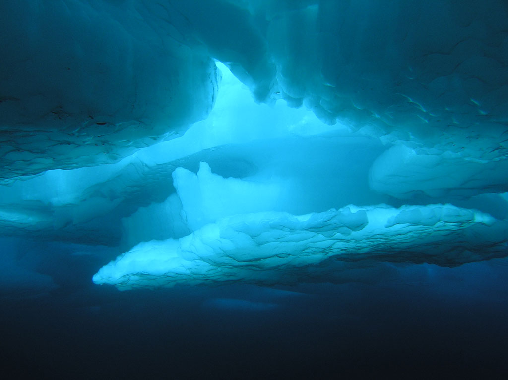
Sea ice from below, taken in the Canada Basin during the
Census of Marine Life. Photo: Elizabeth Calvert, NOAA
Related
Ice-shelf buttressing and the stability of marine ice sheets